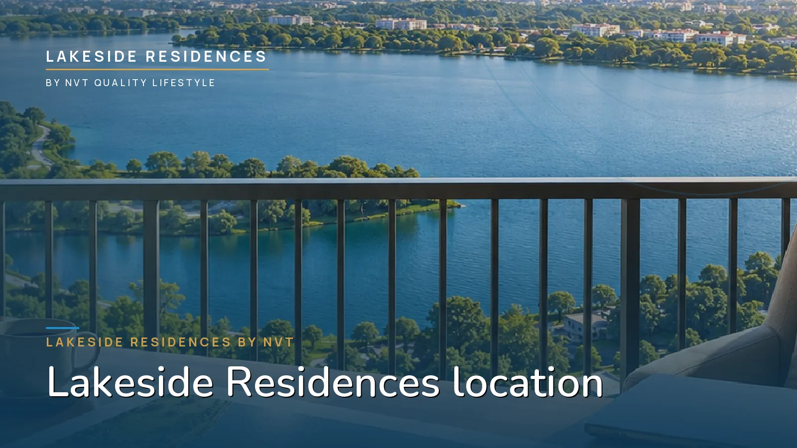
Two questions tend to arrive together when buyers look at this part of East Bengaluru. The first is practical: how long is the drive to work. The second is about the future: what is actually coming up around the site. Lakeside Residences answers the first with a published list of indicative drive times and the second with a set of proposals that are easy to overstate. Both are set out below, with the caveats they deserve. Start with the project overview if you are new to the development.
Where the site sits
The address is Sarjapur–Attibele Road, also State Highway 35, in East Bengaluru. The map pin is 12.7947155, 77.7794837. SH-35 ties the Sarjapur–Attibele corridor to the Bengaluru Business Corridor and the Satellite Town Ring Road, which is why the same address can serve two quite different employment geographies. The 30-acre site itself sits inside a 100-acre integrated township.
Indicative drive times
The project publishes these as estimates. Traffic in Bengaluru varies enormously by hour and direction, so read them as a rough shape of the location rather than a schedule.
| Destination | Indicative drive time |
|---|---|
| Sarjapura | 0–10 min |
| Attibele | 0–10 min |
| Azim Premji University | 0–10 min |
| Indus International School | 0–10 min |
| Attibele Industrial Area | 10–20 min |
| Narayana Institute, Bommasandra | 10–20 min |
| Manipal Hospital, Sarjapur Road | 10–20 min |
| Wipro Kodathi | 20–35 min |
| Electronic City | 20–35 min |
| HSR Layout | 20–35 min |
The pattern is a tight local ring and a longer outer one. Schools, the university, the Attibele industrial belt and a hospital all sit inside 20 minutes; the large IT campuses and HSR Layout sit in the 20–35 minute band.
The two-commute idea
Because SH-35 runs between two employment zones, a household here is not tied to a single direction of travel. North and west, the IT offices of Whitefield and the Outer Ring Road corridor draw the morning traffic. South, the manufacturing and industrial belt around Hosur and Attibele draws another. For a couple working in different places, or for anyone whose employer may move, that spread is the practical argument for the address. Our notes on commuting to Whitefield from Sarjapur Road and commuting to Electronic City go deeper, and the Attibele growth corridor covers the southern side.
What is proposed around it
Several large pieces of infrastructure are on the drawing board near the site. All are proposals, none is built, and timelines for each can move:
- A 72 km metro corridor, with a planned extension running through Attibele, Hosur and SIPCOT.
- A proposed 10.5 km extension of the Yellow Line from Bommasandra to Attibele.
- A planned 647-acre KIADB SWIFT City.
- An upcoming 80,000-seat international cricket stadium at Surya City.
A metro line or an employment node close to a residential address can change how a corridor is used, which is why these plans appear on most sales brochures. The honest position is that a proposed line is a proposal until it is sanctioned, funded and under construction. Our article on metro connectivity and property prices explains why an announcement and a delivery are not the same thing, and SWIFT City as an investment theme unpacks that particular plan.
Schools and hospitals in the same window
For families, the most useful part of the table above is the 0–20 minute band. Azim Premji University and Indus International School are listed within 0–10 minutes; Manipal Hospital on Sarjapur Road and the Narayana Institute at Bommasandra within 10–20. Our guides to schools near Sarjapur Road, international schools near Sarjapur Road and hospitals near Sarjapur Road list the wider set, and living near the IT parks, schools and hospitals ties it together.
How to test the location properly
Drive the route on a weekday at the hour you would actually travel, starting from the site rather than from a pin on a map. Compare the return leg at the end of the day, because the asymmetry between morning and evening is where most surprises live. The full location page carries the site details, the FAQ covers what buyers ask most, and the amenities page shows how the promenade and clubhouse sit against the lake.